Greetings Geodesign enthusiasts! In this article, we’re diving into the recent enhancements within Geodesignhub projects, focusing on the exciting developments in three-dimensional (3D) Geodesign. Geodesignhub, already a versatile spatial negotiation system, has expanded its capabilities into the third dimension.
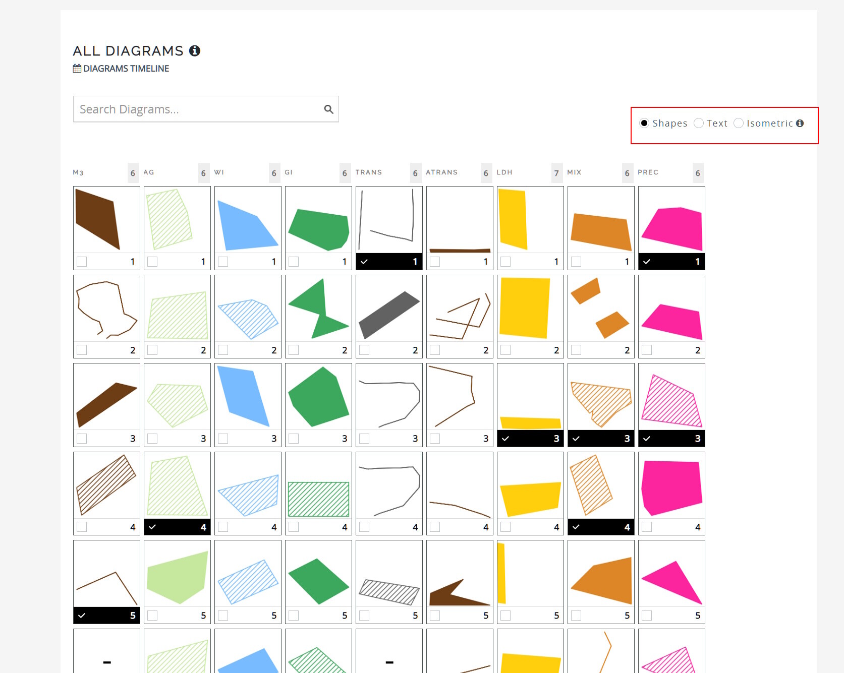
In urban settings, negotiations often hinge on building height and structure. Geodesignhub now introduces an isometric view control in the “All Diagrams” section of the workflow for projects with 3D information set. The 3D capabilities of Geodesign are well developed via plugins like the Globe 3D Viewer and the Buildings 3D Viewer, these viewers available for all Geodesign projects.
To incorporate 3D building information into your projects, follow the steps outlined in the guide on setting 3D information on the Administration page. This information seamlessly integrates into the API, becoming available for use in various tools.
Isometric view in the workflow
When the 3D relations are set, you can now see a isometric view control (below) in the “All Diagrams” section of the workflow. This will not appear for projects that do no have any 3D information. In that sense the 3D relations have to set in your project.
Once selected, the isometric view transforms the “All Diagrams” grid, presenting building footprints in 3D with height information displayed in meters.
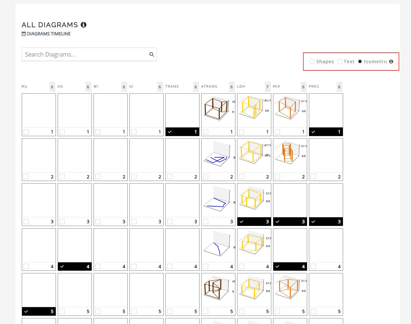
As we refine these capabilities, your feedback becomes invaluable. We encourage you to explore this isometric view during negotiations, especially in urban areas with intricate structures. Here’s to embracing the 3D dimension in Geodesignhub! ![]()
![]()