Geodesignhub enables designs to be analyzed in 3D. This is however done on a system by system basis and a system can be set to not process 3D impacts. By default, 3D relations are turned off for all systems and they have to be turned on.
- In the “Manage Systems” link, Click on the 3D relations link.

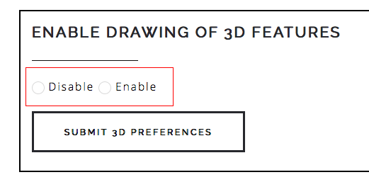
- Click on Enable or Disable 3D features for the system. Enabling this enables you to specify if a feature is under ground or above ground.
- Once 3D features have been enabled the “Set Height” button is available on the diagram.