In this article, I will explain a very important new feature in Geodesignhub: the ability to restrict the number of diagrams within a certain system.
Background
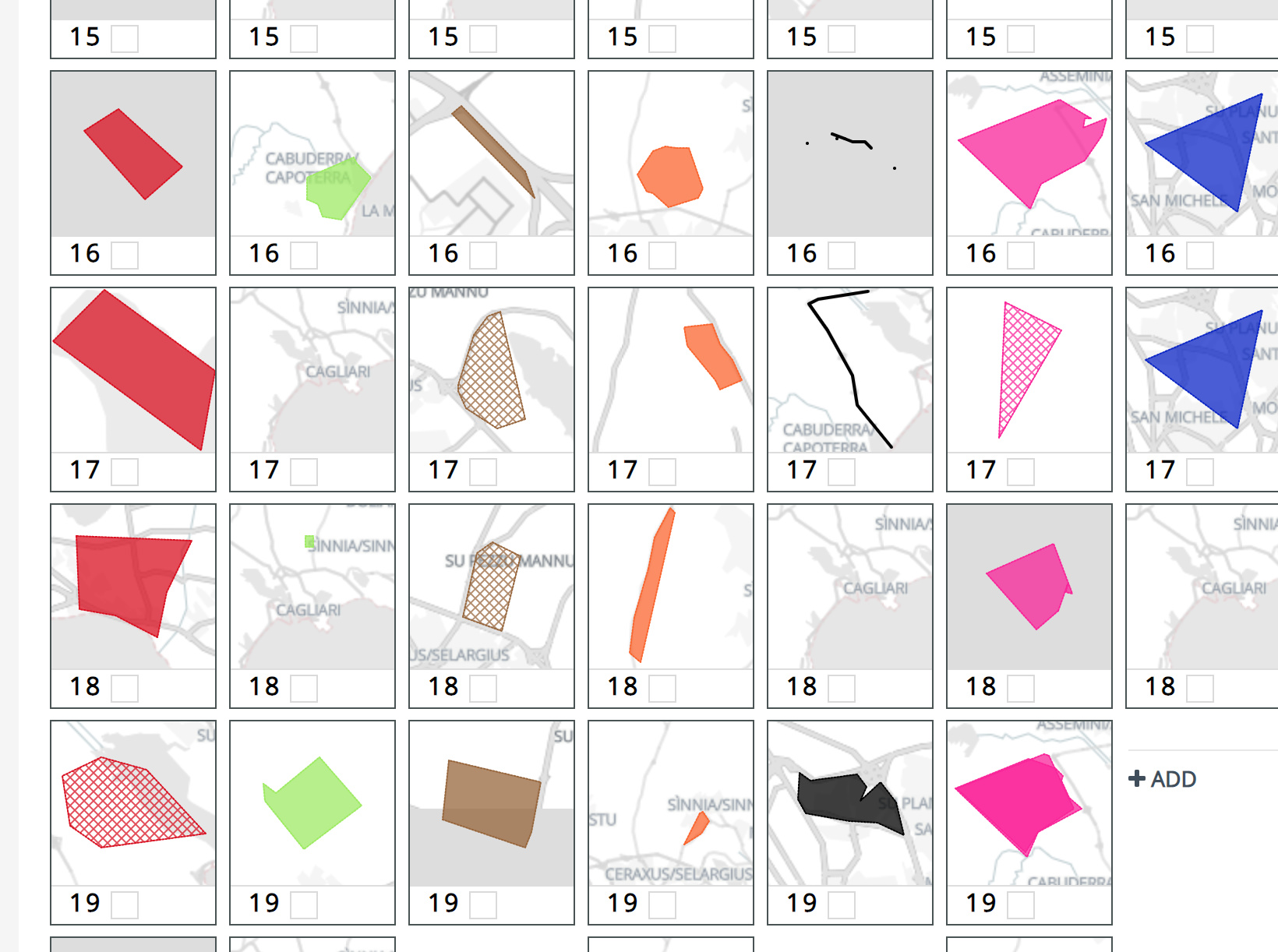
Geodesignhub uses simple diagrams as a way for the participants to think about changing geography and “designing”. We do this by splitting the design problem into different systems and then asking the users to suggest improvements using simple diagrams. For more information about diagrams you can review the What is a Diagram? article. These diagrams or ideas of change and improvements form the familiar diagrams grid in Geodesignhub.
The problem
Previously, there were no restrictions on the number of diagrams that could be added so participants added as many as they liked. We encouraged participants to look at what was already added before adding new ones. Despite that, we have had projects with 800+ (!) diagrams. There are a couple of things that happen with too many diagrams. The participants keep adding the diagrams not looking at the diagrams that already exist. Having large number of diagrams takes the project in the domain of aspiration with little chance of implementation. Geodesignhub focuses on execution of a design so limiting diagrams ensures that people tasked with executing the project are working with limited vetted ideas. This is essentially a quality vs quantity issue. By limiting the number of diagrams, we are hoping that only the best ideas will be on the table because participants will have to prioritize. This is essentially what every administrator, project manager does and in my opinion, this discipline really needs to be embedded in the design stage.
Default limits to new projects
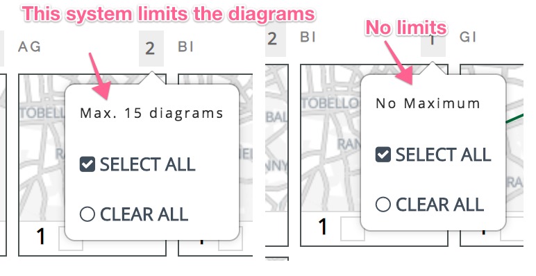
The change to diagrams is now live and only applies to projects created going forward. There is no change to existing projects. For new projects, by default every system will limit the number of diagrams to 15 which can be increased to 25 by project administrators. If your project is already created, the limits wont apply to you but I would recommend that you set limits to ensure that you get the best outcome. You can check the diagram limit for the system by hovering over the diagram count as shown below.
What happens when limit is reached?
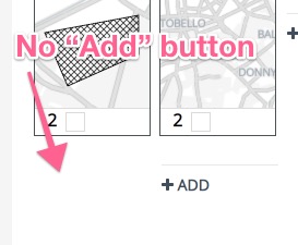
Quite simply the “Add” button is removed once the diagram limit is reached so you cannot add any more diagrams to that grid. You can of course re purpose, edit and modify the existing ones as always.
How to change the limit per system
Only project administrators can change the limit of the diagrams that can be added to a system. To change it, please review the How to Limit Diagrams article.
Conclusion
These changes will have no impact for some projects. But I observed that in some projects the participants simply drew a large number of diagrams without looking at what was existing or consulting with their colleagues. By putting limits on diagrams, we hope to encourage more collaboration, negotiation and conversation between the participants. Limiting the number of diagrams has no impact on what you can put in the existing diagrams that are available. You can still edit, rename, erase and draw new geometries in the existing diagram and we are hoping that it will be used more. There are a couple of other interesting things that can be enabled because of this change that I will reveal eventually.
What do you think of this change? Let us know by a comment below.