In this article, we will review how to check if you have projects that overlap each other.
Geodesignhub uses simple diagrams to synthesize complex designs. Please review the What is a Diagram? article for the basics of a diagram. A user selects multiple diagrams to synthesize a design as shown below to produce a design.
A user selects a combination of projects and policies to build a synthetic design.
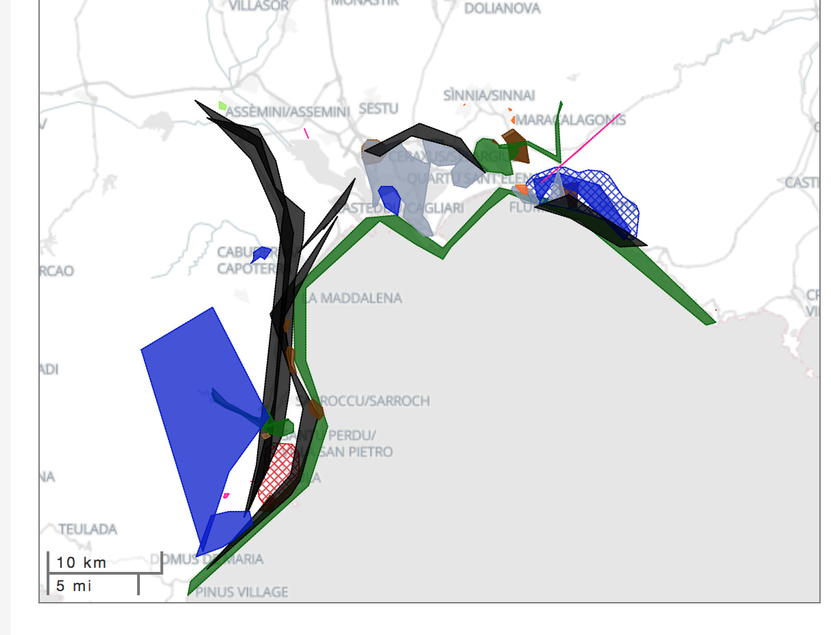
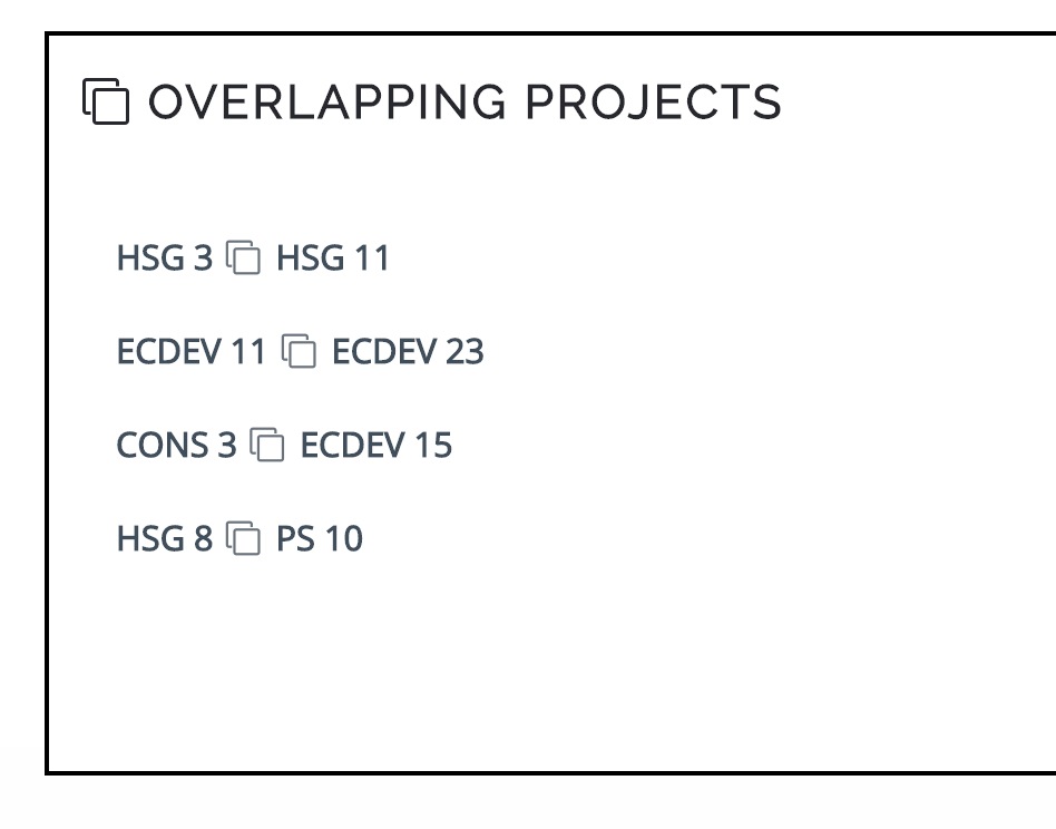
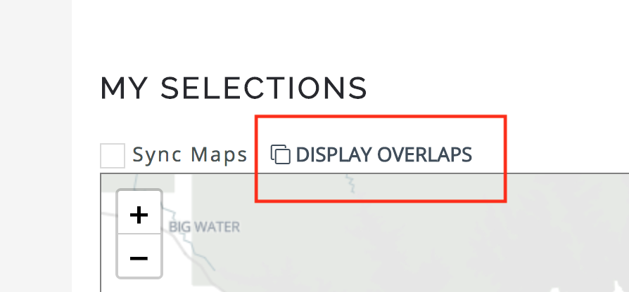
However sometimes, projects overlap over each other representing a conflict of ideas over the future of the place. This happens because the projects are created by different people independently. To resolve these conflicts of overlapping projects, we will have to edit individual polygons to ensure that they do not overlap each other. To identify these projects, go to the “My Selections” map and click on “Display Overlaps”
After a few seconds of processing, you will see a list of overlapping polygons in your selections which need to be rectified individually.