In most design problems, there exists constraints: entities that cannot and should not be changed. This maybe because of regulations, cultural factors, social factors, existing land use that cannot be changed, etc. Geodesignhub enables addition of constraints to projects so that they are considered in a design.
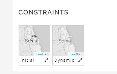
Constraints are shown in the “Constraints” section of the maps.
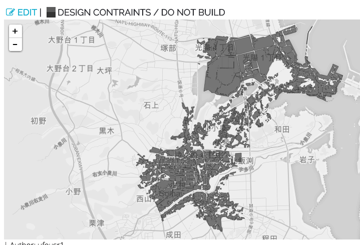
Constraint maps behave very similar to Evaluation maps and are shown in black color. In this case, it shows the areas that cannot be changed. We can see that most of the built-up area is shown below.
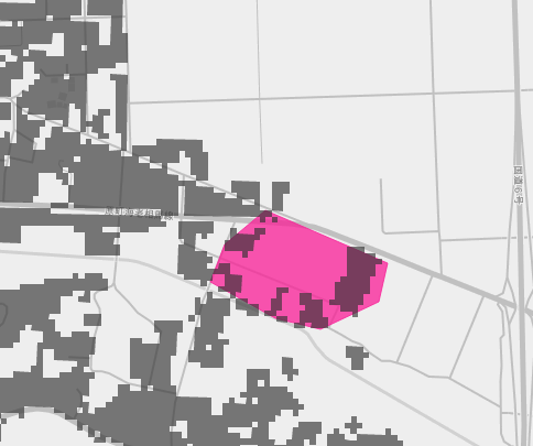
In a diagram, if there is a project that overlaps with the Constraint as is shown below, the project diagram is trimmed to accommodate the constraint. In this case, the diagram is a sketch that overlaps constrained areas, and therefore, the diagram will be modified in the process of synthesis and impacts
.