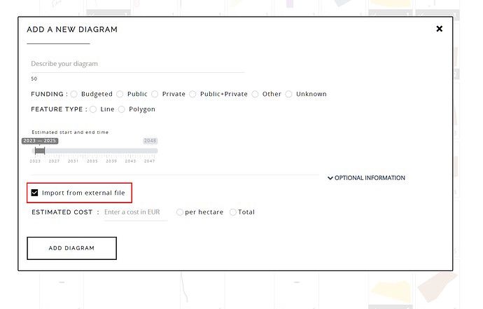
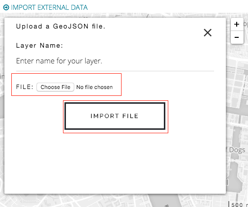
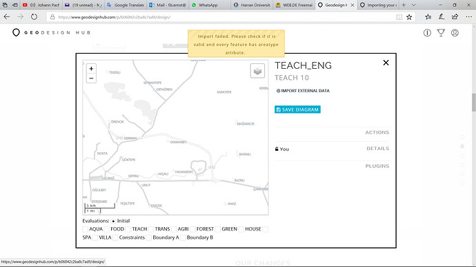
It is possible to import external data into a diagram. In most cases, users will sketch features in the diagram to represent projects and policies. However, it is possible to add data such as GeoJSON or other files into the diagram. To enable external data uploads, you will need to select the “Enable external data” during diagram creation. The GeoJSON should be projected to WGS 1984 projection system per the standard.
-
If you want to enable external data addition for your diagram, you will need to specify it when creating a diagram.
-
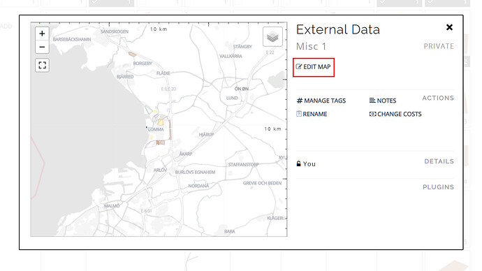
Once the map is added, it is shown as a new window in the tool.
-
Click on the edit button.
-
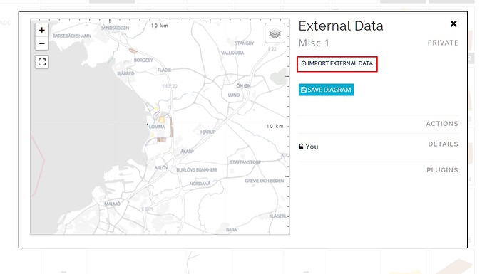
Click on the “Import External Data” link.
-
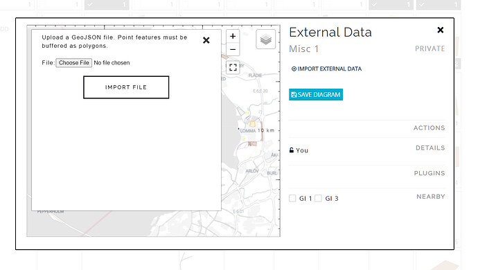
In the sidebar, select if it is a project or a policy and give a friendly name for your file.
-
Attach the file from your file system / desktop and click on the “Import File” button. If the file is a valid GeoJSON file, the data will be added to the diagram. If there are errors parsing the file, the data will not be added.
