You can have upto 10 systems in a project, if you are a beginner to Geodesign, we recommend having 5-7 systems for your project to focus the conversations.
-
In the Administration / Project homepage, click on the “Manage Systems” panel link.
-
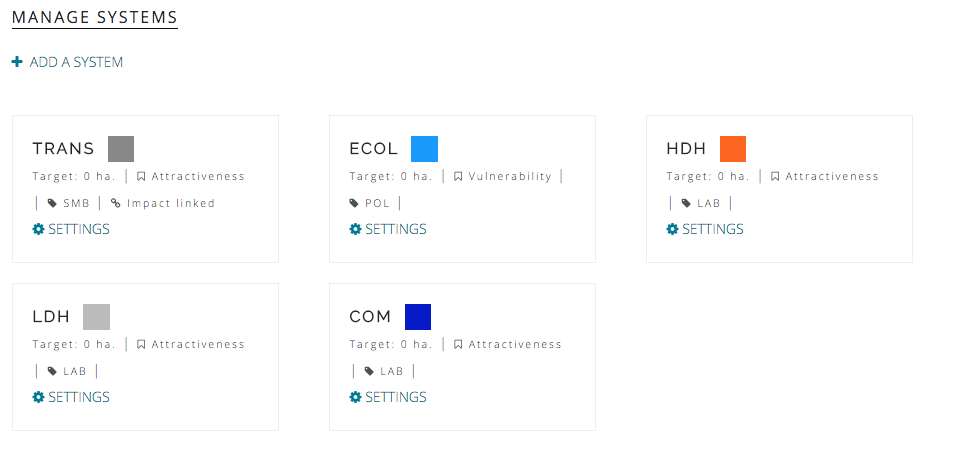
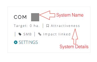
A panel should open that displays the system card and all the systems currently in the project.
-
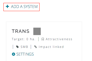
Click on “Add a system” link and a popup window should appear.
-
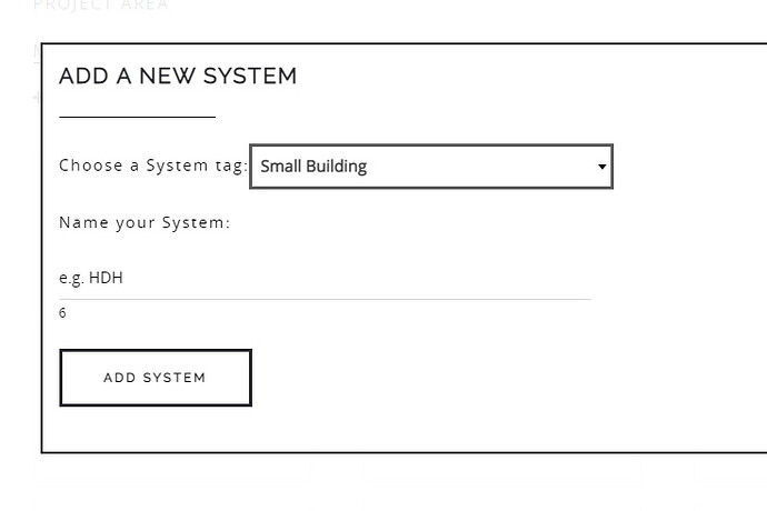
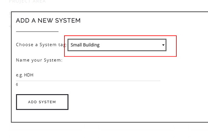
Select a system tag. System tags are used in the cost model and some visualization toos, built-in the system; you can use your own cost model via the API.
There are four types of system tagsand some examples are given below:
- Paved e.g. Roads, Transport
- Porous e.g. Agriculture, Forestry
- Small Building e.g. Low density housing
- Large Building e.g. Industry, Commerce
- Policy e.g. a law or regulation
Choosing the system type will impact the cost models. There is also a way to override the cost per diagram.
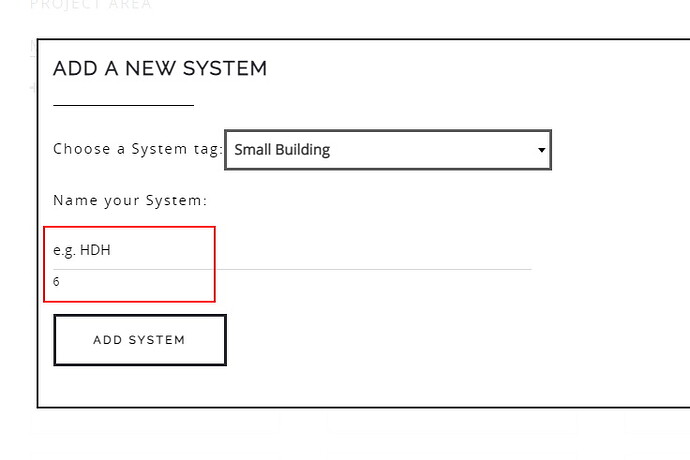
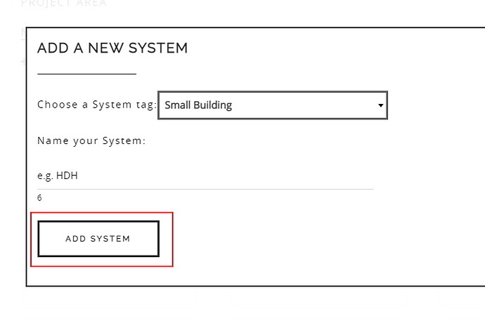
- Finally, give your system a name; usually an acronym is recommended. Once it is added, press the “Add System” button and the system will be added to the project.

