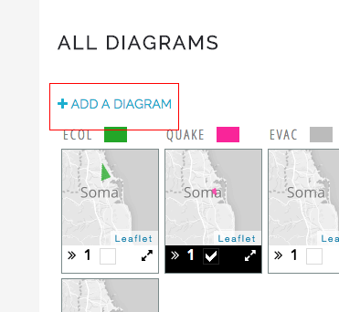
- In the “Geodesign” page, click on “Add a diagram” link.
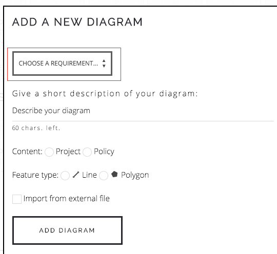
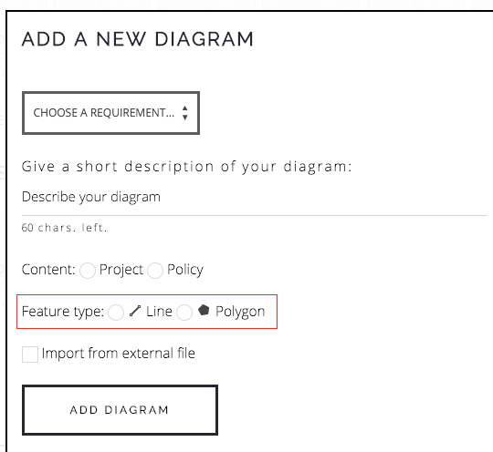
- Select a system under which you will add your diagram.
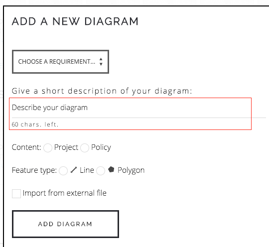
- Enter a small description for your diagram, it is meant for others to see so have a clear concise text, avoid using your name, “test” etc. in the diagram description.
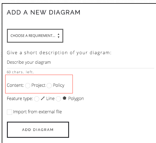
- Select if your diagram represents a project or a policy. For more information, review the “What is a project or policy?” article.
- Select if you want to draw line or polygon features
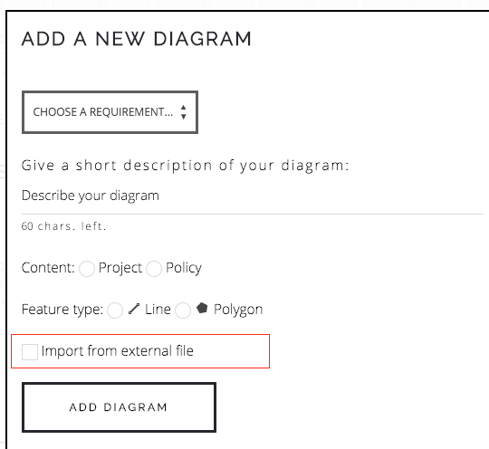
- If you want, instead of drawing polygon or polylines, you can import external data into the diagram as well.
- You can also copy features from a existing diagram to start as a baseline. If a existing diagram has vectors, features cannot be copied.
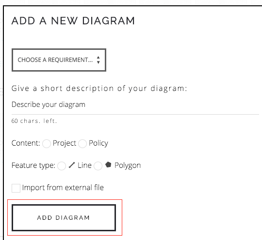
- Finally click on the “Add a diagram” button to add.
9.Once you click on Add Diagram, your diagram will be added. In addition, everyone will see a map with a green border. This way you will know that a diagram is new.